DATCP, in collaboration with the Wisconsin Standards Oversight Council, has published a technical standard for verifying depth to bedrock.
The standard provides support for the implementation of the DNR’s targeted performance standard for Silurian bedrock within 20-feet of the soil’s surface. This includes the following counties: Brown, Calumet, Dodge, Door, Fond du Lac, Kenosha, Kewaunee, Manitowoc, Milwaukee, Outagamie, Ozaukee, Racine, Sheboygan, Walworth, Washington and Waukesha.
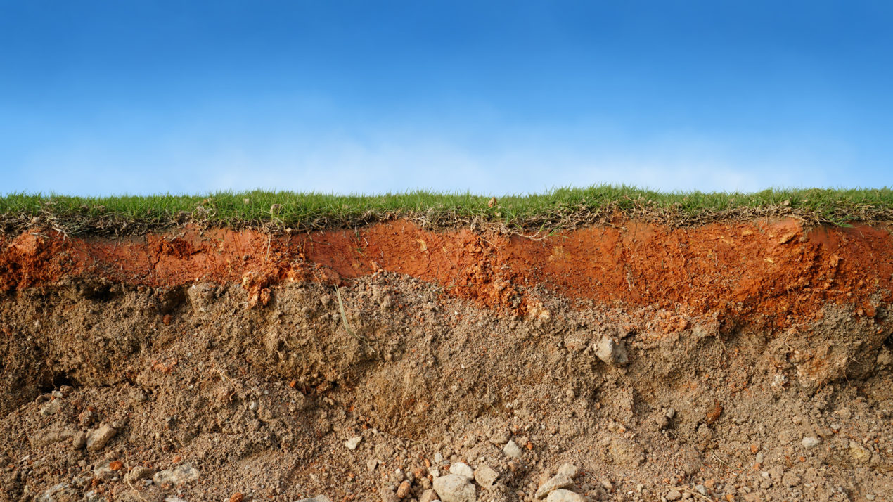
Silurian bedrock areas are sensitive to potential groundwater contamination due to the type of soil and bedrock, and depth to the bedrock. Statewide maps are available to show areas of Silurian bedrock and approximate depth of soil over the bedrock. The standard provides producers with a procedure to verify the depth to bedrock on their affected land.
“For crop and livestock producers who fall under the requirements of this rule, this technical standard provides science-based methods for confirming the accuracy of depth to bedrock in these areas,” says Sara Walling, DATCP’s Agricultural Resource Management Division administrator.
See the technical standard: https://datcp.wi.gov/Pages/Programs_Services/DepthToBedrockStandard.aspx