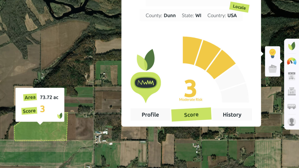
The Madison area is home to the Agrograph headquarters — a global agri-finance startup focused on improving ag lending, crop insurance and more for industries that support farmers. Using satellite imagery and Artificial Intelligence, it can deliver precise, field-level data to help companies anticipate trends and manage risk.
For example, the satellite image looks at the reflectance back of the leaf area in a field, which identifies the type of crop. The signal of the leaf over the growing season predicts the yield. They look at historical production and in-season crops, explains cofounder and CEO Jim O’Brien.
Farms are decreasing and farm size is increasing. This puts pressure on insurers and banks to wrap appropriate risks around policies and loans. O’Brien says more transparency results in better understanding of risk results in better pricing for farmers.
Agrograph has done work with elevators to predict grain supply. They’ve also done work with ethanol and other biofuels looking at draw areas for corn to determining base prices. In addition, they’ve done parcel reports for banks and farmers because there’s a lack of appraisers.
O’Brien says they’ve also dabbled in the hemp industry, translating hemp location and vigor during the growing season for processors. But what has happened is the “green rush” into hemp, he says, creating an oversupply.
Agrograph has also found a place in helping ag industry players better audit or invest in farm sustainability.